
Get in touch
(334) 521-5320
Office@ACAIConstruction.com
6053 Stage Road
Auburn, AL 36832

Alabama Drone LiDAR Services
ACAI uses state-of-the-art LiDAR Drones to survey topography, efficiently and effectively.
Aerial Photography
ACAI provides professional aerial photos and videos utilizing Drone LiDAR Technology of raw material stock to site arrangements.
Optimized Survey
Survey rugged and vegetation-covered terrains. Conduct feasibility studies, and earthwork planning.
LiDAR Mapping
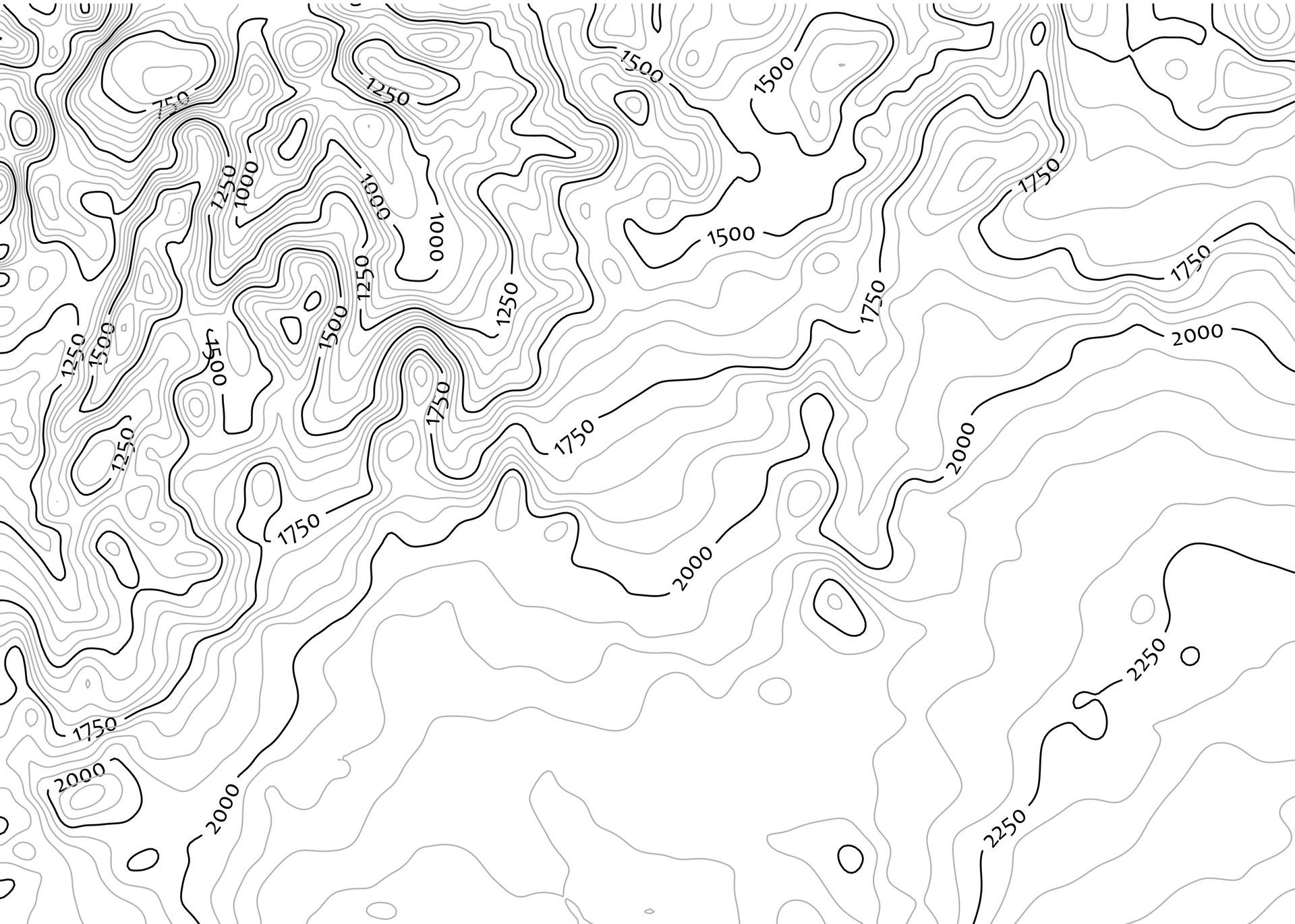
LiDAR has an empecable amount of accuracy, down to of 5 centimeters, mapping the most difficult field conditions.
LiDAR DRONE
Using a state-of-the-art LiDAR drone, Adams Construction & Associates, Inc. (ACAI) of Auburn, AL employs cutting-edge technology to survey topography as efficiently and effectively as possible.
Whereas land surveyors once used tripod instruments and a lot of man-hours to calculate changes in elevation and topography plot by plot in increments, new technology allows ACAI’s drone to zip up and scan land in just moments, creating all-encompassing scans more accurate than ever with plot points on every square inch of the ground.


Why Choose Aerial LiDAR?

LiDAR sUAS provides accelerated, efficient, and more cost-effective surveys, passing on man-hour savings to the customer. The LiDAR sUAS creates a stunningly accurate 3D rendering of the existing onsite surface conditions, which are then used by ACAI's engineers to complete a proposed design that the client has envisioned.
With a highly rendering of the existing surface in hand thanks to the LiDAR scanning, and with the proposed surface in hand based on another engineers deign. ACAI is able to steer construction contractor clients to the most cost-effective construction plan to help make the owners vision a reality. This can be in either raising/lowering the construction site so that the earthwork balances, calculating stockpiles, or as simple as construction progress analytics.
Furthermore, from the LiDAR sUAS to the excavator, ACAI uses state-of-the-art technology every step of the way in completing work. LiDAR scanning is 9 times out of 10 times the paramount first step in providing the most information possible to ACAI’s experienced engineers.
Tell Us About Your Project
Let ACAI know your 3D LiDAR mapping needs. We provide the highest standard in Drone LiDAR Services.
We'll Schedule a Flight
Schedule a flight for Digital Terrain Model (DTM), Digital Surface Model (DSM) or a Digital Elevation Model (DEM) .
Download Your Aerial Imagery
ACAI stores all Aerial Imagery in the cloud for easy viewing and download.
ACAI's LiDAR Drone In Action
Ready To Get Started? Send Us A Message
Address:6053 Stage Road Auburn, AL 36832
Office@ACAIConstruction.com